Friday, February 22, 2008
La Nina
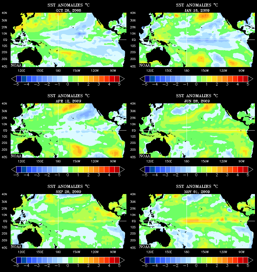
La Nina conditions; a cooling trend of waters along the equatorial Pacific, have continued to be a feature into 2008. Recent dynamical and statistical sea surface temperature (SST) forecasts indicate a moderate to strong La Nina through the rest of the Northern Hemisphere winter with a continuation into the spring. *Side bar: Note the plume of warmer SST's, (infering rising motion, moisture and storms) plowing into the Pacific NW! Can you say ridiculous amounts of snow!? Lots and Lots So, the $64,000 question is... OK, we'll get with modern times and make it a $1,000,000... So, the million dollar question is what does this all mean for us?
Precipitation-wise, we tend to be a little below average under such conditions. January was very dry. February, thanks to the rain of Feb. 16-17, has been wet. Slight chances of rain are in the extended forecast now, but we're not looking at any gully-washers! Temperature-wise, La Nina conditions tend to keep us a little warmer than average. We have dodged a few potentially devastating ice events... so; we'll see what the rest of the winter has in store.
Posted by Ted Zarras at 3:34 PM

0 Comments:
Post a Comment
<< Home